NDVI (Normalized Difference Vegetation Index) is the most common way to see crop health from space. This guide explains the formula, how to read the colours and where NDVI can mislead you.
In short
- NDVI measures how much healthy green vegetation is in each pixel.
- Values run from -1 to 1; dense healthy crops are high, bare soil is low, water is near zero or negative.
- Compare within a field and over time, not against other farms.
- It shows where to look, not why. Walk the patch to find the cause.
The formula
NDVI = (NIR − Red) ÷ (NIR + Red)
Healthy leaves reflect lots of near-infrared light (NIR) and absorb red light, so the difference is large. Stressed or sparse plants reflect less NIR, so NDVI drops.
Typical values
| NDVI | Usually means |
|---|---|
| Below 0.1 | Water, bare soil, buildings |
| 0.2 to 0.4 | Sparse or young vegetation, stressed crop |
| 0.5 to 0.7 | Healthy growing crop |
| Above 0.7 | Very dense, vigorous canopy |
Values vary by crop and stage, so watch your own field's trend.
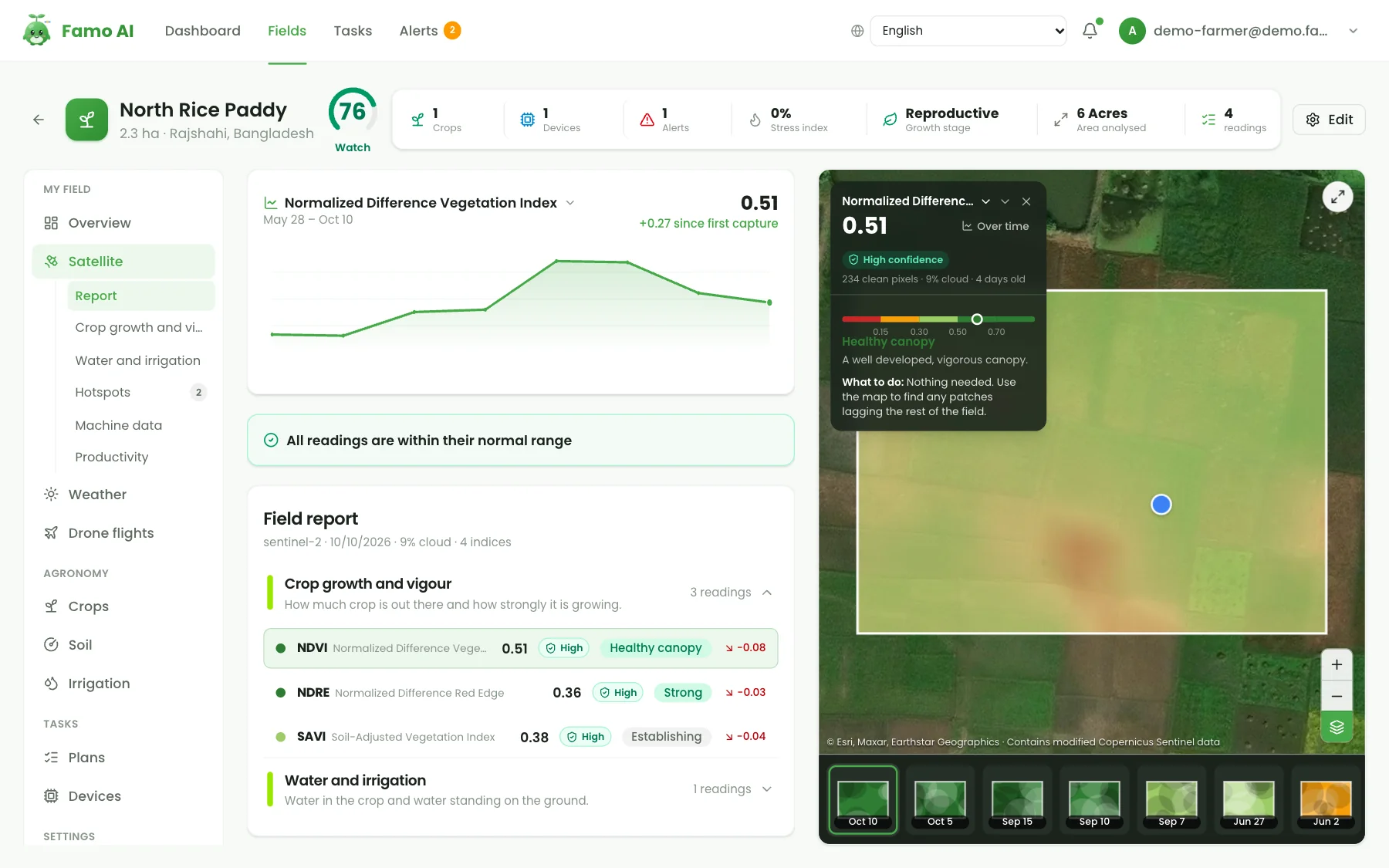
Reading the map
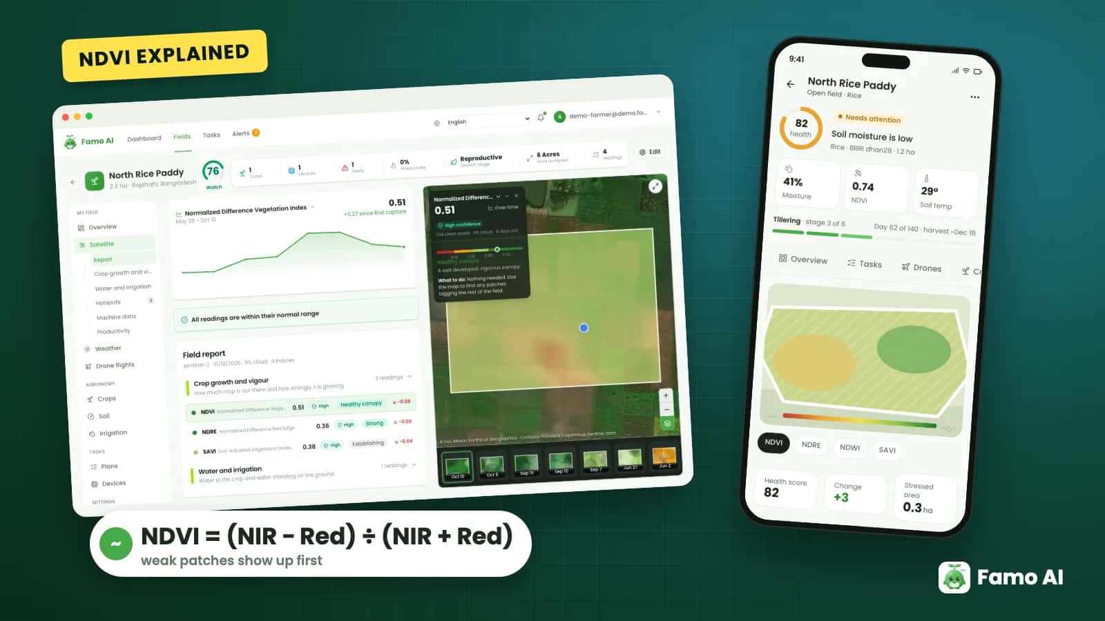
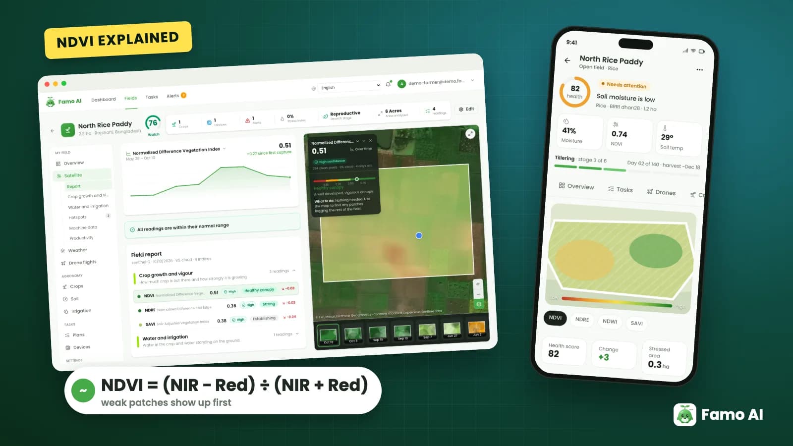
Maps colour pixels from red (low) to green (high). Look for patches that are weaker than the rest, a sudden drop between dates, or a slow decline. Free Sentinel-2 imagery has about 10 metre pixels and a new picture every few days when clouds allow.
Limits to remember
- Clouds and haze delay or distort images.
- Dense canopy saturates NDVI, so it stops separating "good" from "very good".
- It does not say which nutrient or pest is the cause.
- Small plots have few pixels, so detail is limited.
- Other indices help: NDRE for chlorophyll, NDMI for moisture, SAVI for sparse crops.
How Famo AI helps
Famo AI shows NDVI, NDRE, SAVI and NDMI for your fields with history, so you can see the trend and decide where to scout first. Read more in satellite crop monitoring and NDVI.
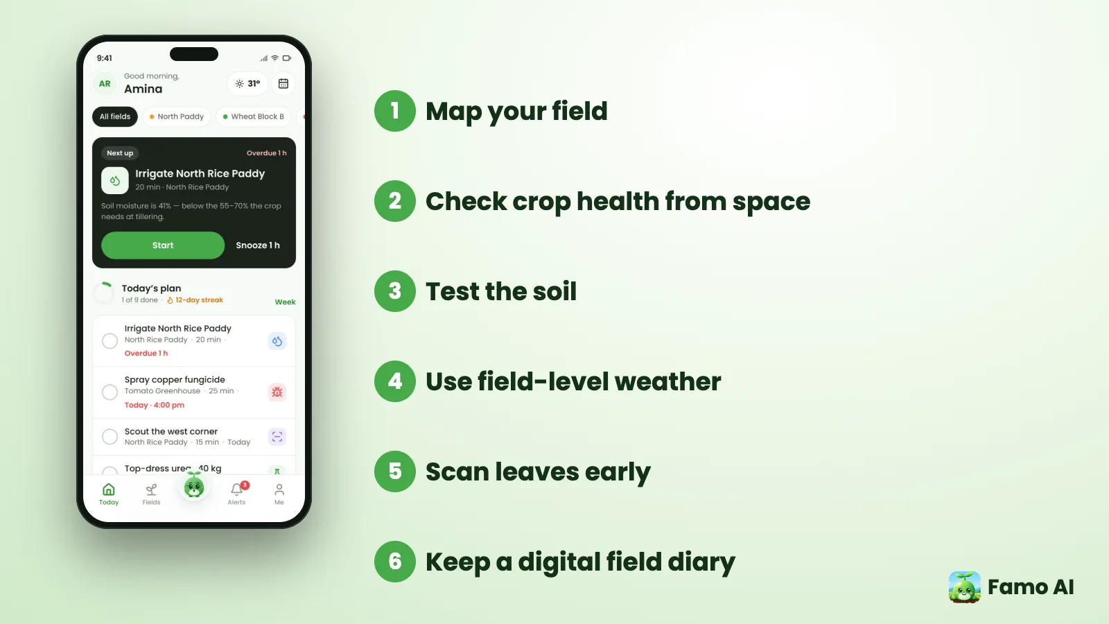
Get Famo AI on Google Play or try the live demo, no sign-up needed.
Frequently asked questions
What is a good NDVI value for crops?
Roughly 0.5 to 0.8 for a healthy growing crop, depending on crop and stage.
How often is NDVI updated?
Free satellites revisit every few days, but clouds can delay a usable image.
Can NDVI detect disease?
It can show a stressed area, but not the cause; check on the ground.