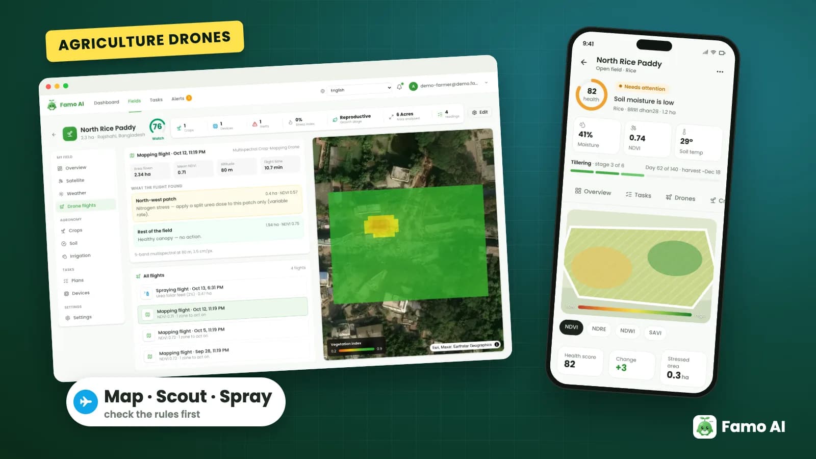
Agriculture drones are used to map fields, scout crops and, in some places, spray. They can save time and show problems early, but they come with rules and costs. This guide explains what they do and how to decide.
In short
- Two main jobs: mapping and scouting, and spraying.
- Cameras decide the data: regular (RGB) cameras show what you see; multispectral cameras show plant health.
- Rules apply. Many countries require registration, permits or a licensed pilot.
- Hiring a service can beat buying, especially for small farms.
What farm drones do
| Use | What you get |
|---|---|
| Mapping and scouting | High-resolution maps, plant counts, patches of stress |
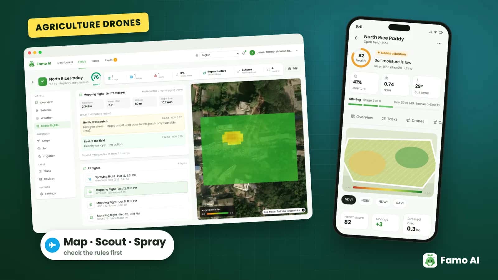
| Crop health imaging | Vegetation index maps from multispectral cameras |
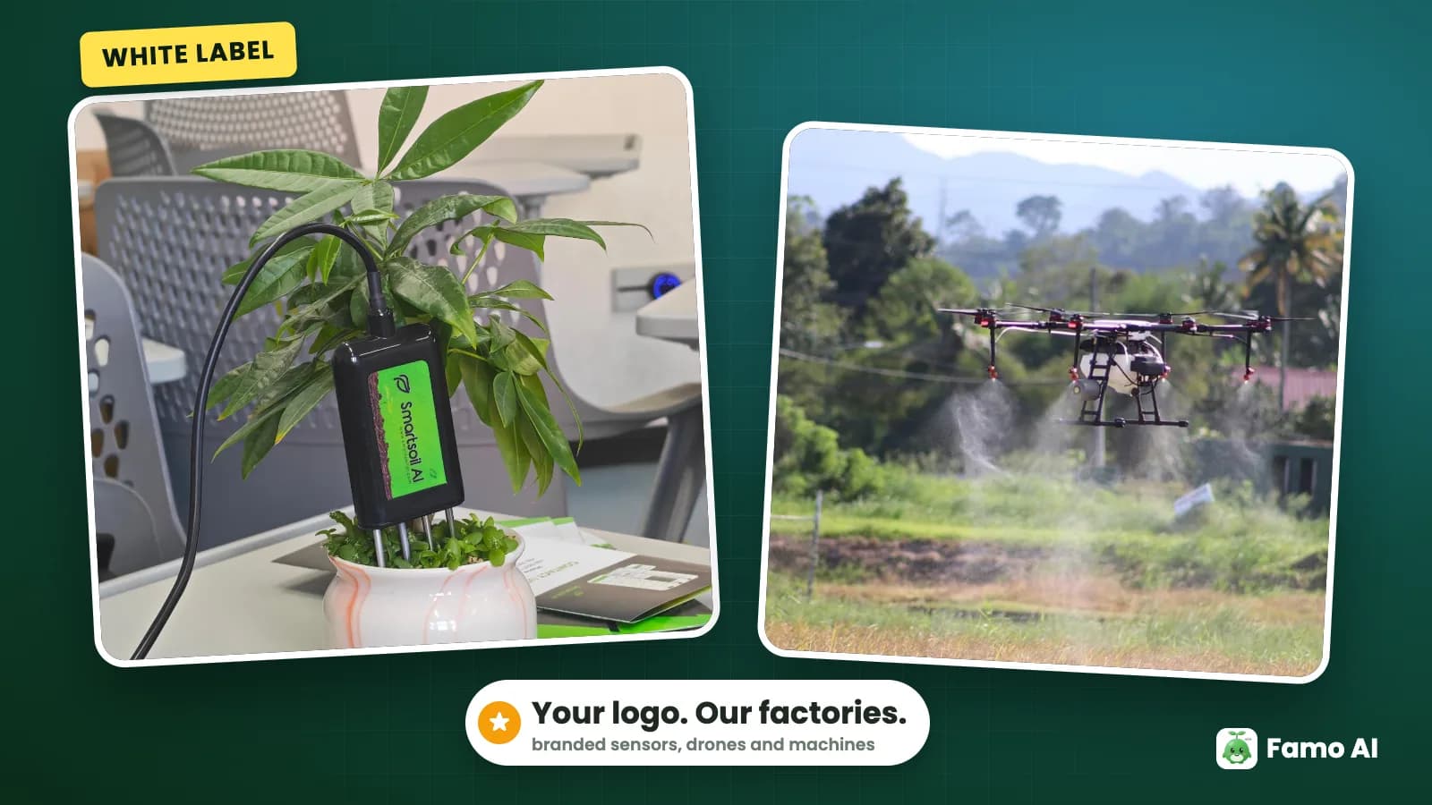
| Spraying | Targeted application over fields that are hard to walk |
| Seeding and other tasks | Emerging uses in some regions |
Mapping versus satellites
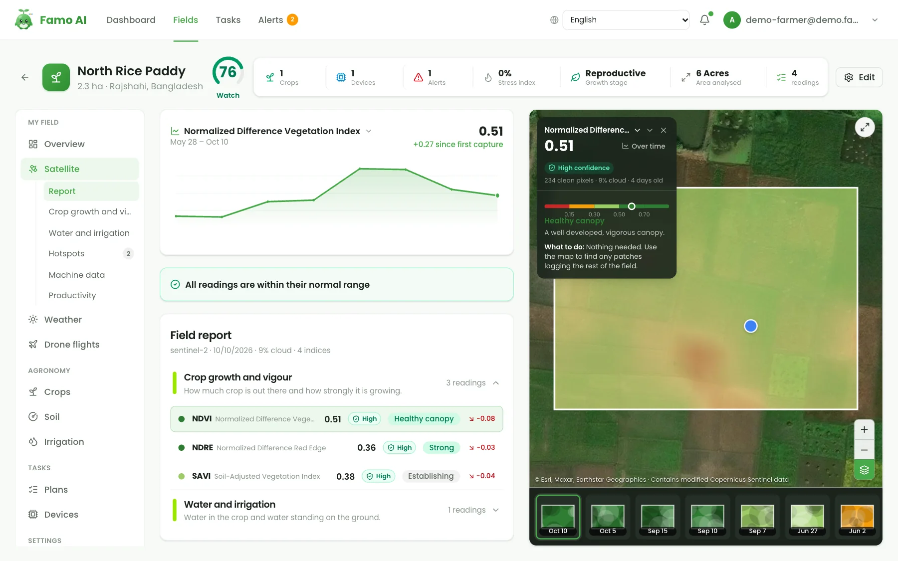
Drones give sharper detail and fly when you choose, but cover less area per flight. Satellites cover whole fields for free every few days. Many farmers use satellites to find the weak patch, then a drone or a walk to see why.
Spraying: cautions
Drone spraying must follow the product label, wind limits and local aviation and pesticide rules. Drift near neighbours, water and people is the main risk, so use trained, authorised operators.
Is a drone worth it?
Consider area, crop value, labour cost and how often you would fly. For occasional use or small fields, a service provider can be cheaper than owning, flying and maintaining a drone.
How Famo AI helps
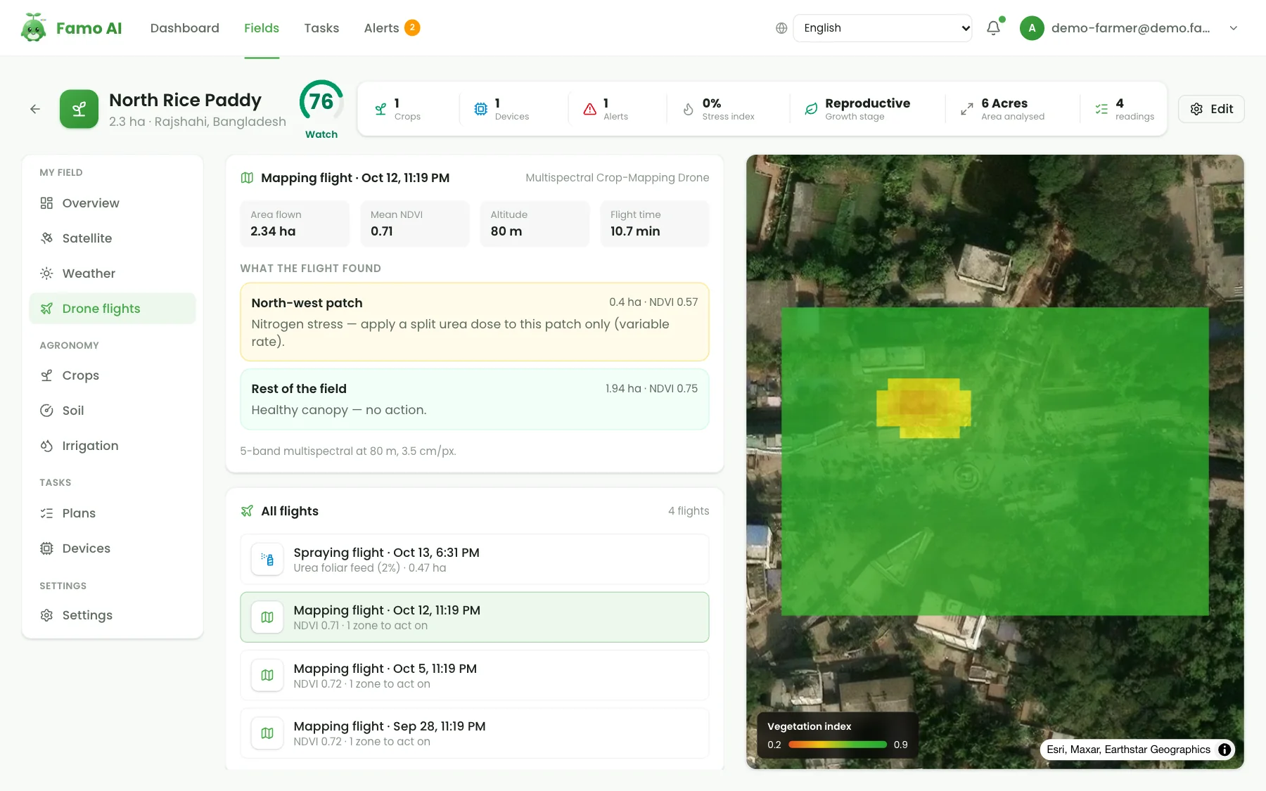
Famo AI includes drone flight records in the dashboard, with mapping findings, vegetation index maps and what each flight found, alongside satellite checks.
Get Famo AI on Google Play or try the live demo, no sign-up needed.
Frequently asked questions
Do I need a licence to fly a farm drone?
In many countries yes; rules differ, so check your national aviation authority.
Can a drone replace satellite images?
They complement each other: satellites for regular whole-field checks, drones for detail.
Is drone spraying safe?
It can be if you follow the label, wind limits and local rules and use trained operators.